Climate Change
-
Hands-On Insights from a Python API user
10 min read -
-
-

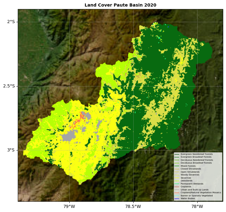
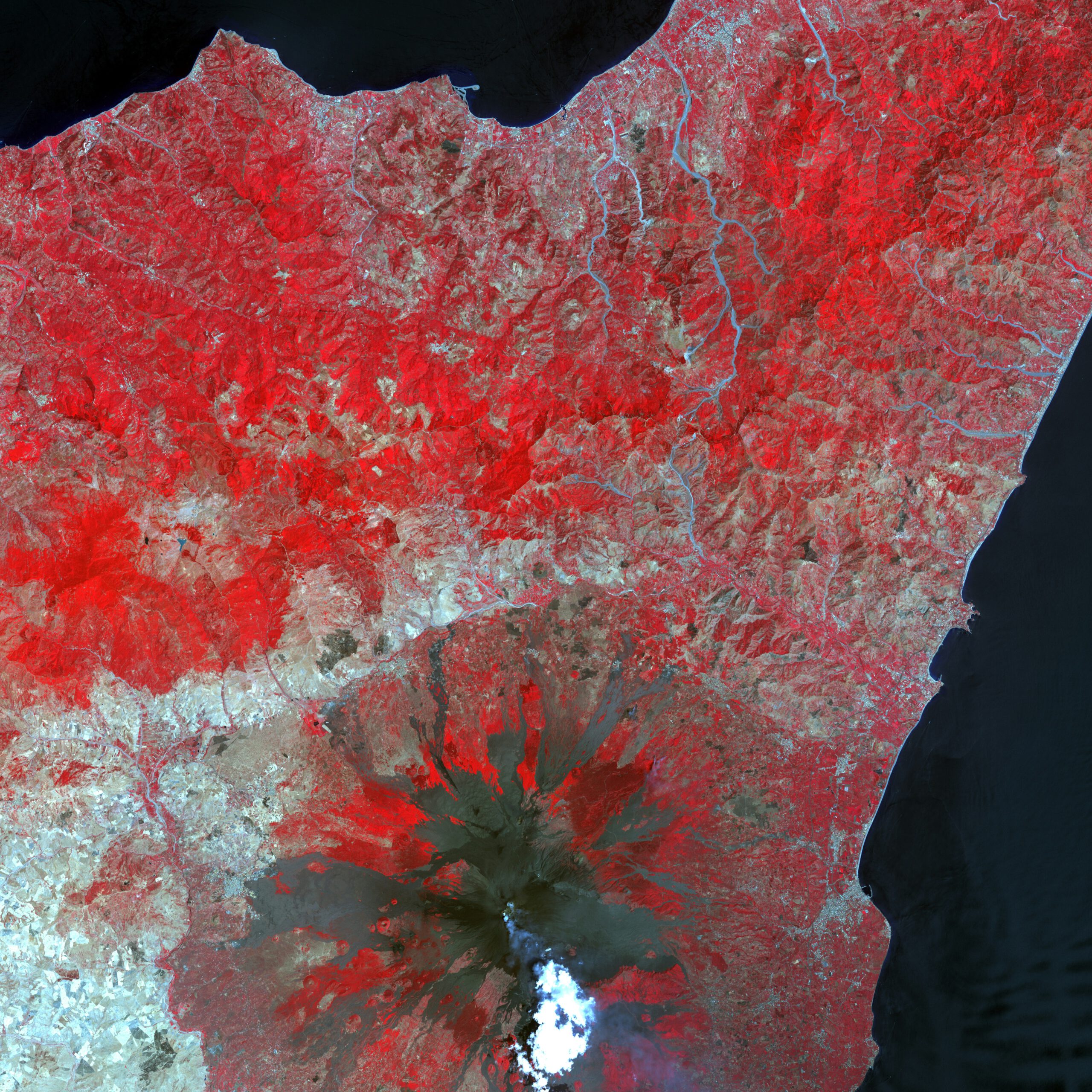
Determining the burned area in forests due to wildfires using Sentinel-2 images with Python in…
9 min read -

An analysis-ready dataset you can use right now
10 min read -

Uncovering hidden patterns in visual data (e.g. satellite data) is a critical task in tackling…
8 min read -
A Simple Way for Downloading Hundreds of Clipped Satellite Images Without Retrieving the Entire…
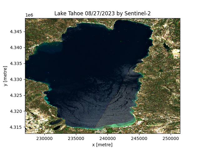
Climate ChangeLearn how to download a clipped Sentinel-2 image for any Area of Interest (AOI), Lake…
10 min read -

Detecting and monitoring flooded areas in satellite imagery with a simple classification approach
12 min read -

Using scenario based stress testing to identify medium (2050) and long term (2100) sea level…
12 min read -

Analyzing Landsat-8 imagery (2014-2023) to create the time series of Great Salt Lake surface area…
20 min read